South Carolina Coastal
Aerial Photo Galleries

Barrier Island Shorelines Through Time


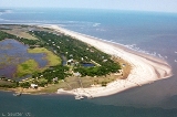
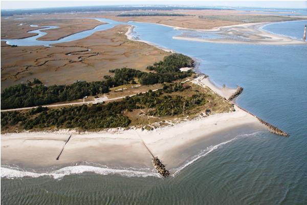
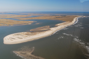
Click on an image to view the related Aerial Photo Gallery.
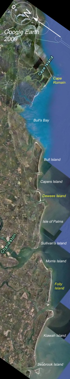
VIEW MAP

2001
Dewees Island
Created by L. Sautter

.


Folly Island (northeast end)
Created by S. Long

.


Cape Romain
Created by S. Long


Areas labeled in yellow have associated photo galleries.
Click on the label or island to view the gallery.
.

SC Coast Map

Publication of Project Oceanica, Dept. of Geology and Environmental Geosciences, College of Charleston
For questions or comments, e-mail Webmaster.