Studying Shoreline Changes After the 2013 Beach Renourishment Project
|
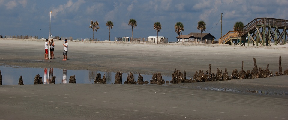
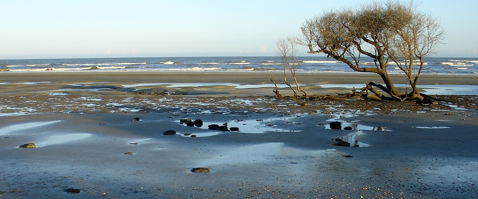
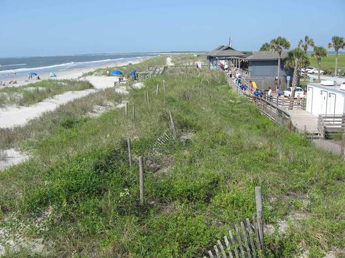
Severe erosion at Folly Beach County Park has occurred for the
past two decades. Insufficient sand available to naturally replenish
the beach following storm-related erosion caused major shoreline
retreat and loss of several sand dunes (image at right and below).
Most of the park’s facilities and parking lots were destroyed
or were removed due to the encroaching sea. |
 |
||
 |
|||
|
The College of Charleston
Department of Geology and Environmental Geosciences conducted
a variety of studies to assess and measure changes to the beach
before and after a large May/June 2013 renourishment project funded
by the Charelston Country Parks and Recreation Commission (CCPRC).
During the first year of the study (June 2013 - June 2014), faculty
and undergraduate students began to monitor changes to the beach,
conducting beach elevation surveys and photographic surveys. In
addition to the research, educational opportunities and online
resources are being developed, several of which are currently
being implemented. |
|
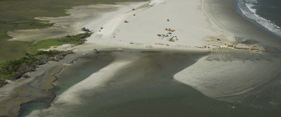
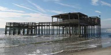
The May 2013 image, at right, was taken from approximately the |
 |
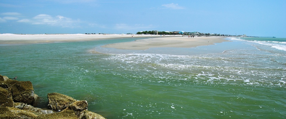
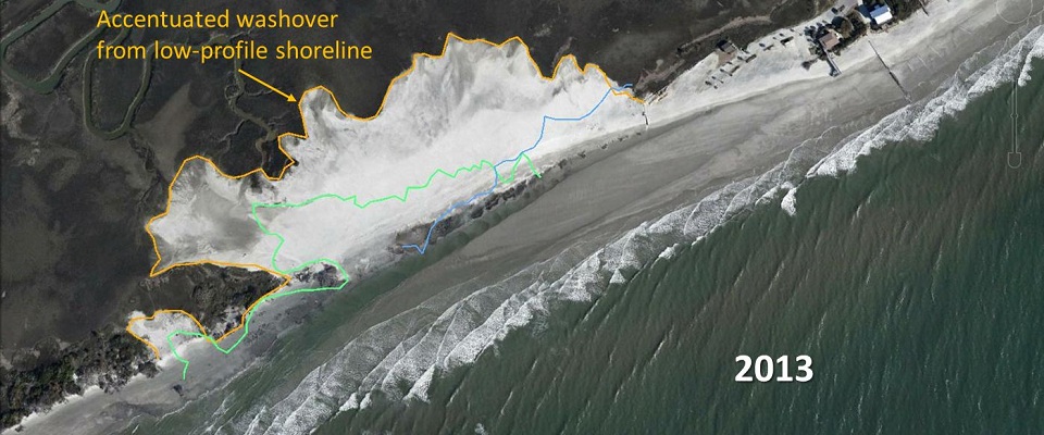
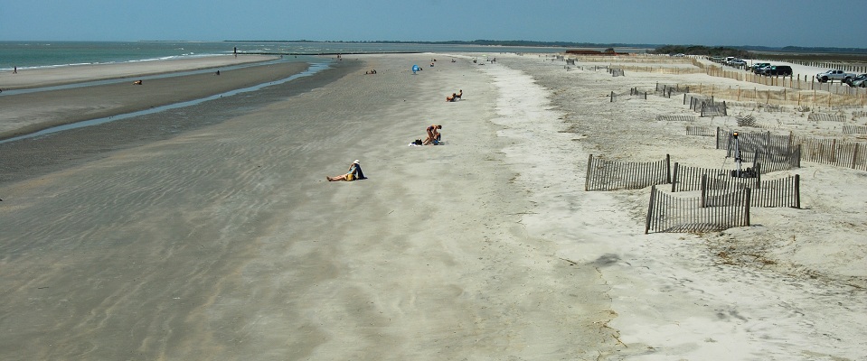
Shoreline Monitoring Several technologies have been used for quantitatively measuring shoreline changes. Aerial photographs, beach photos and Google Earth historic images were also employed, in order to assess the dramatic erosion that has occurred since the late 1980s. We invite you to follow along with our study, and to learn about the coastal processes that influence and control the county park's shoreline. |
|
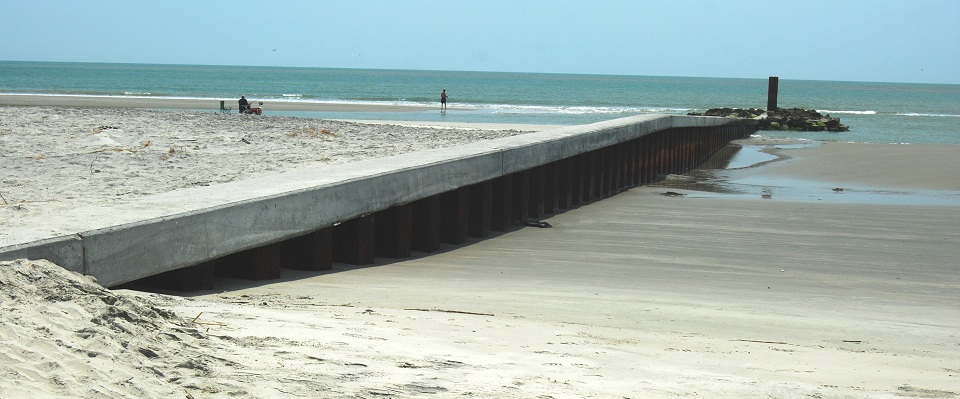
CCPRC 2013 Renourishment Project Overview & Technical Overview
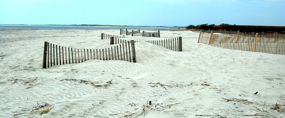
The dynamic and erosional nature of Folly Beach County Park was accelerated in August 2011, when Hurricane Irene passed off the South Carolina coast. Folly Beach County Park not only serves approximately 100,000 patrons per year, but also facilitates sea turtle nesting and provides shorebird habitat. Due to Hurricane Irene's erosional effects on the shoreline, restoration was a priority in order to reopen the park. The restoration included but was not limited to the construction of a terminal groin, the pumping of sand to stabilize the beach, and the construction of fences to stabilize and promote dune growth. Due to the restoration efforts, Folly Beach County Park was reopened on July 3, 2013, and continues to thrive. To learn more, please visit the Project Overview page.
Planning for the renourishment of Folly Beach County Park in the summer of 2013 included both the construction of a terminal groin as well as the addition of ~415,000 cubic yards (cy) of sand collected from Folly River. To accomplish the scope of this project, numerous companies as well as volunteers were utilized. The renourishment was carefully constructed with not only the loss of sediment in mind, but the potential impacts the erosional shoreline had on the biological and evironmental habitats surrounding the area. Once funding of the project was approved, nourishment commenced on May 5th, 2013, with the addition of sand and installation of the terminal groin. By May 2014, the dune restoration project was held in cooperation with the Army Corps of Engineers (USACE) in which 23,000 dune plants were donated. To learn more, please visit the Technical Overview page.